Recommended Training Routes.
We need your suggestions of great training routes. Send in a very brief description, about a 100 words, a few photos and a link to the Strava file, so the GPS track can be downloaded.
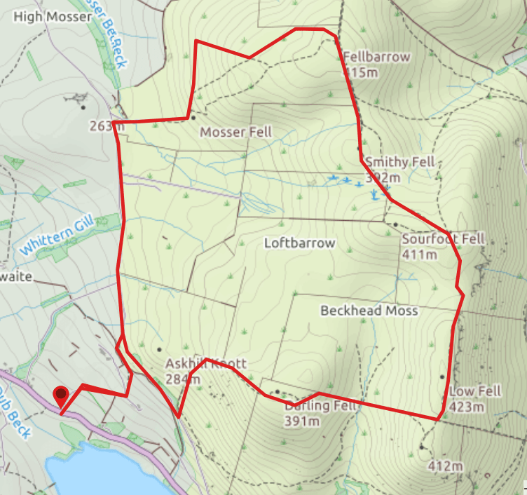
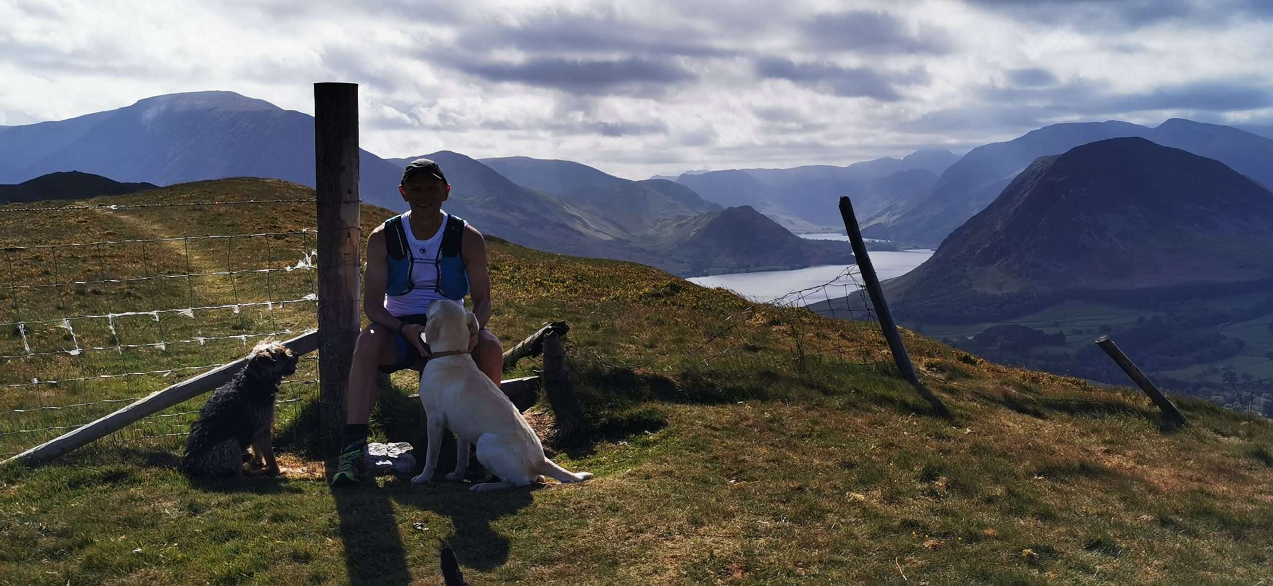
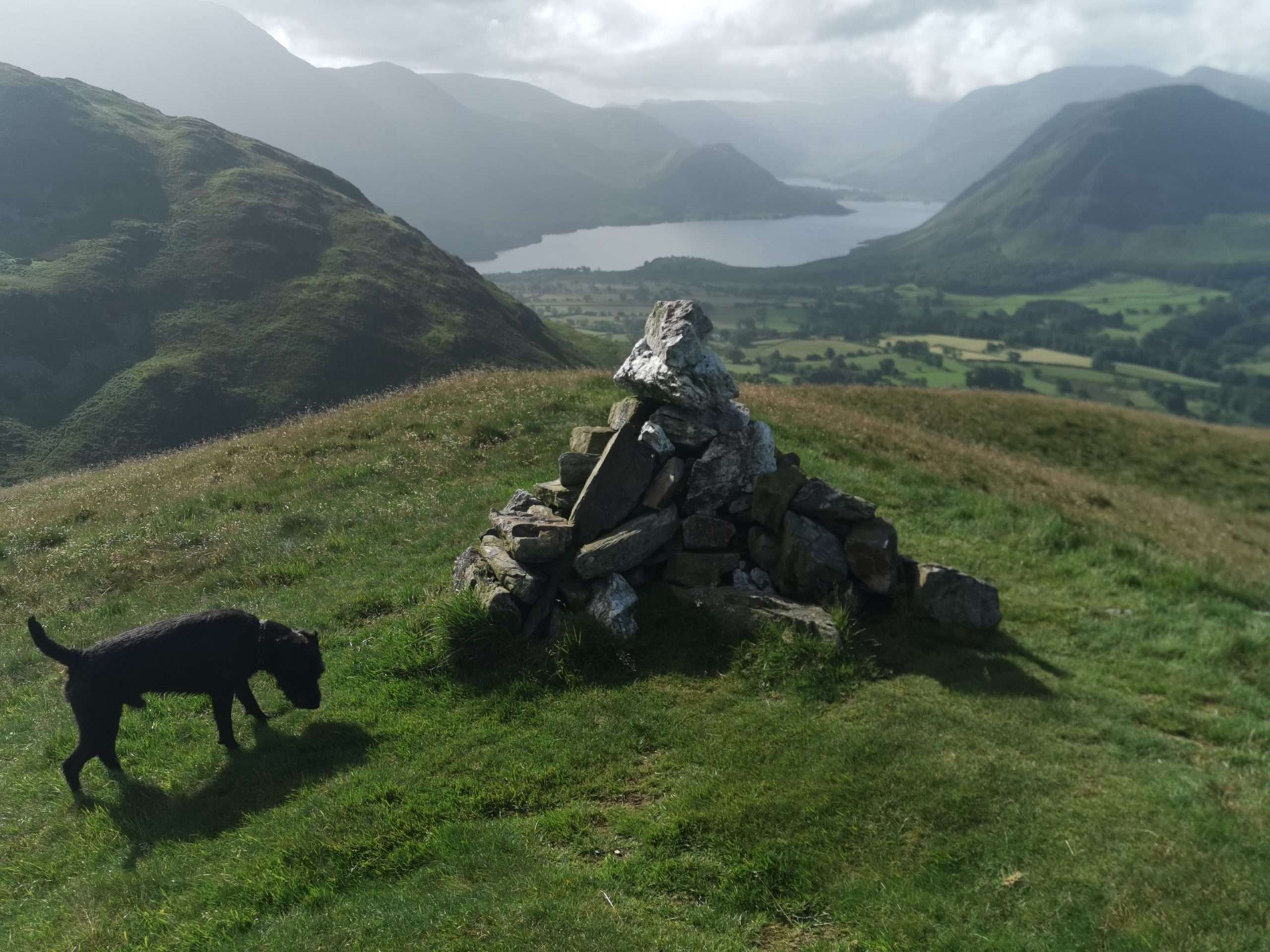
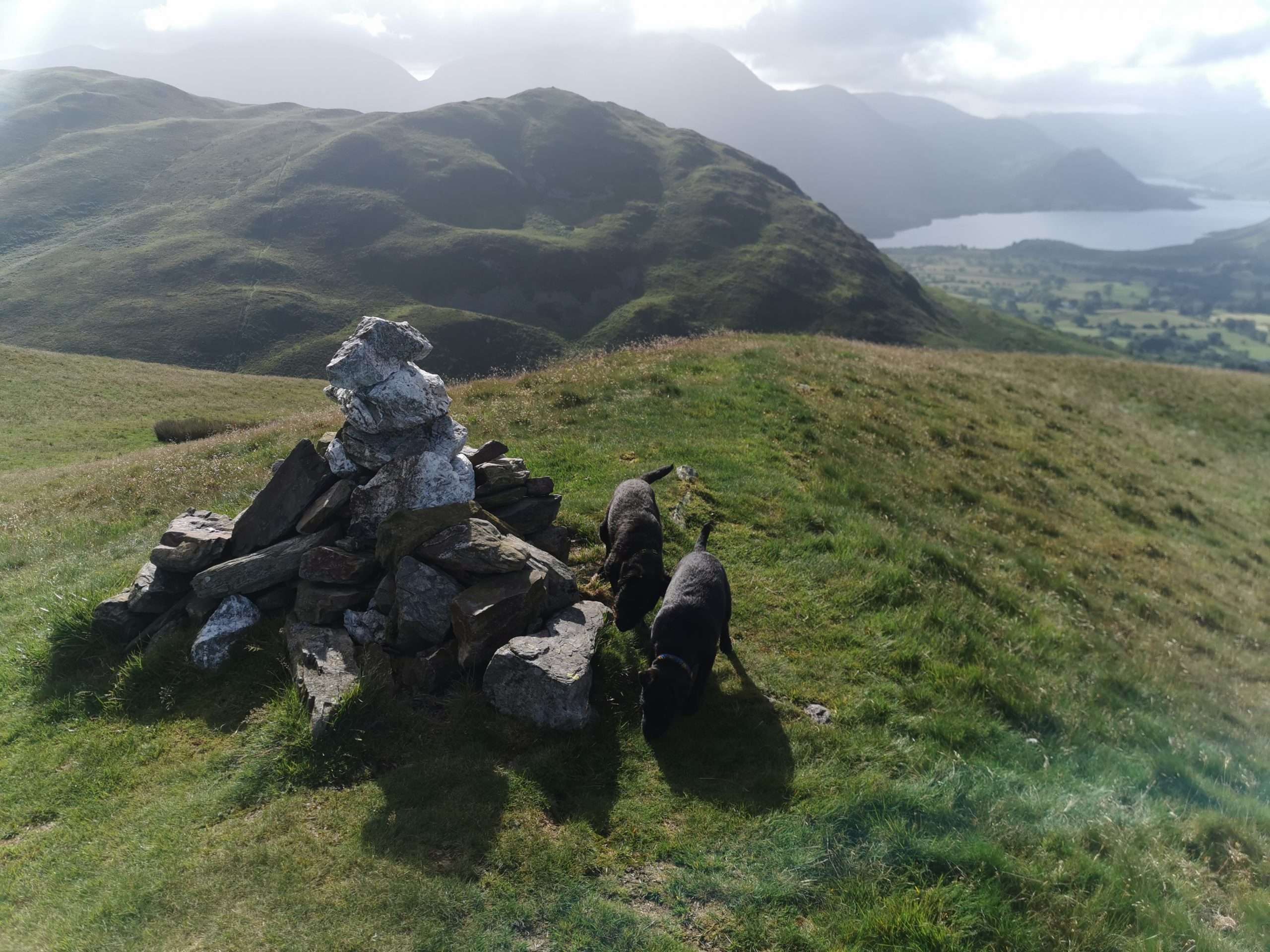
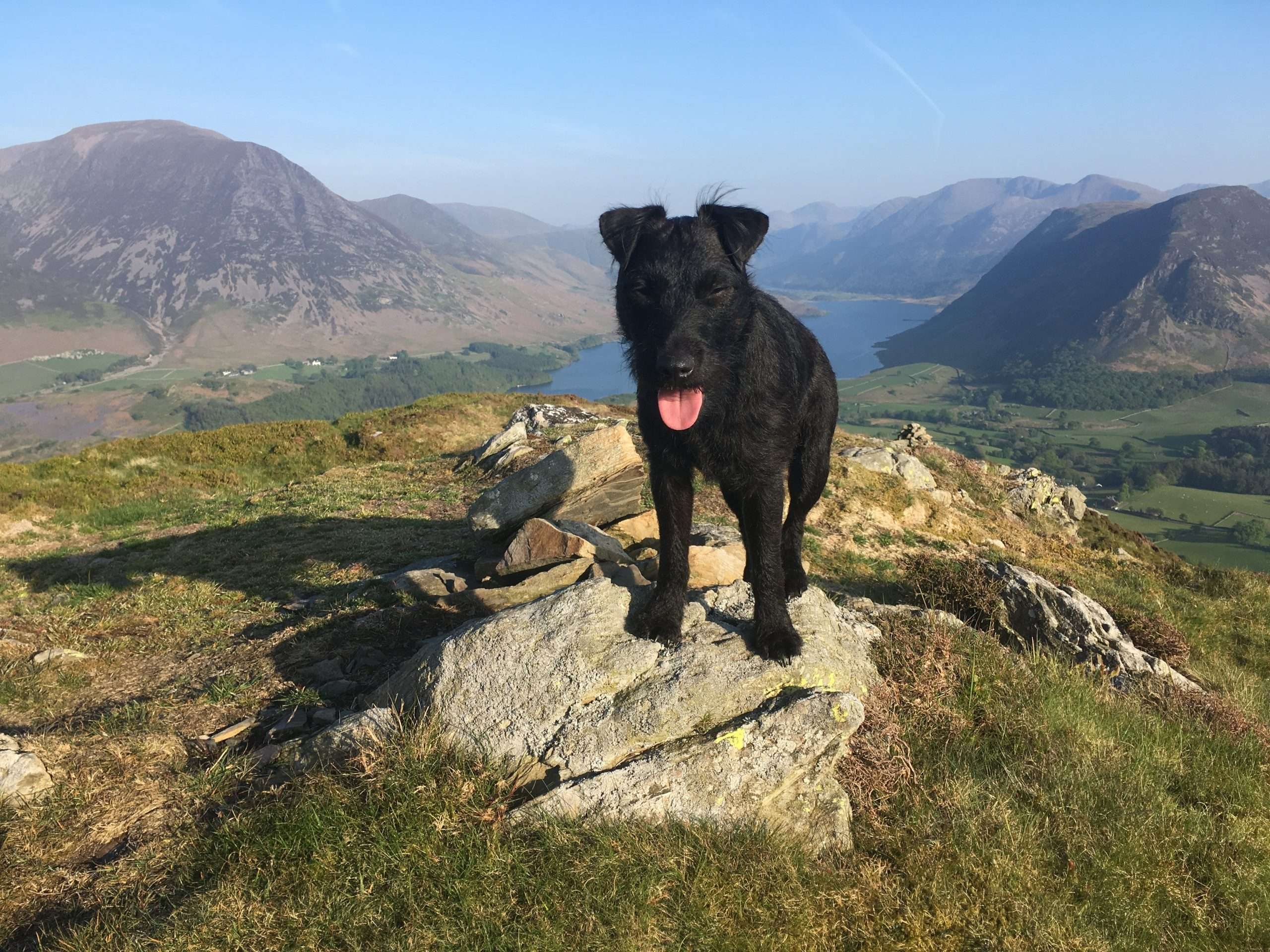
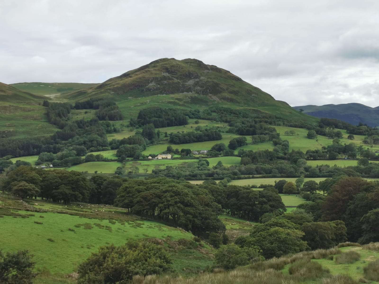
The route takes in around six classic little fells with what I would say have some of the best views in the lake district – looking over towards Grassmoor – Whittles pike – Melbreak and Taking in the long valley capturing Crummock water and Buttermere, on a nice day the view is breath taking.
The route is around 5miles in total with around 1500ft of ascent and is manageable by most club / leisure runners – the route can be lengthened or shortened to suit all levels.
The main thing about this classic route is that it is on our doorstep so taking around 20minutes to get to from most local destinations – there Is plenty of parking at the lay-by near to the red phone box located on the main road Loweswater.
A little treat on a warm summers night
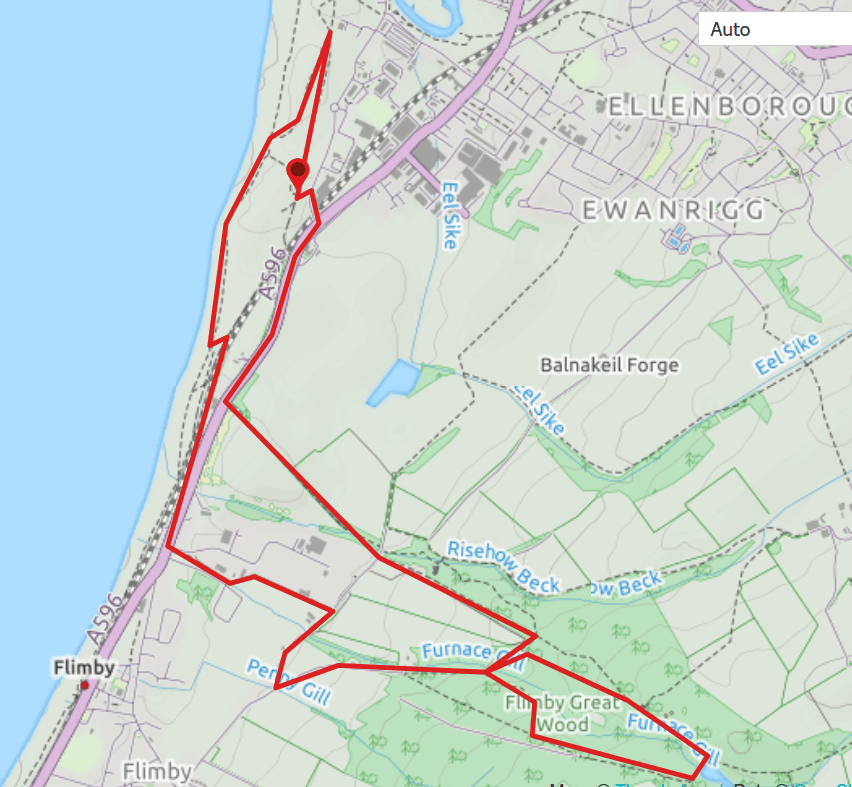
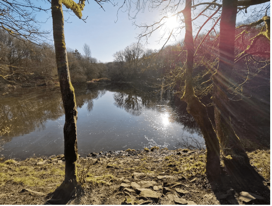
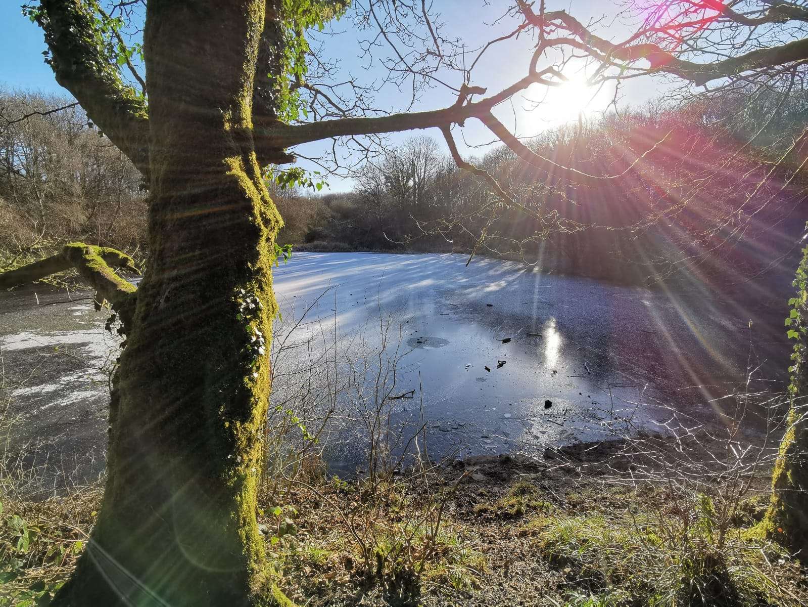
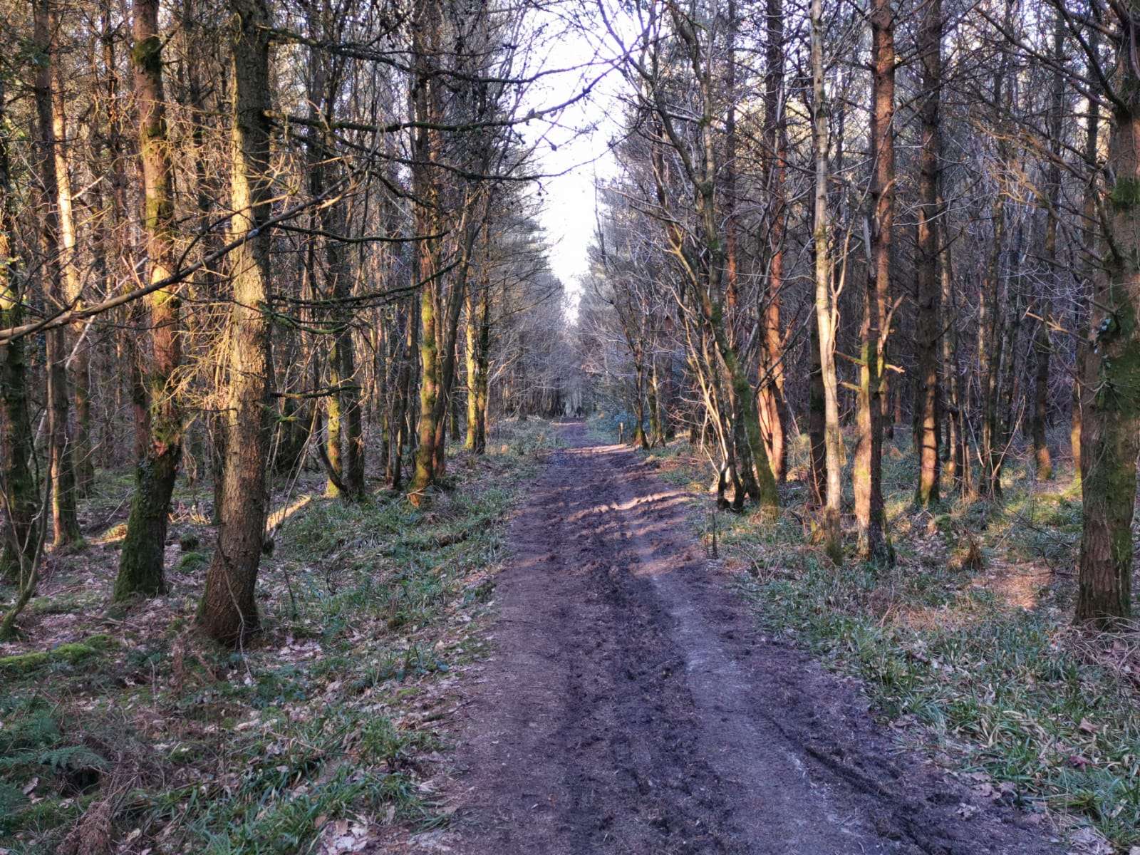
Starting at coalwash car park on the Glasson industrial estate just off the A596. The route runs along side the A596 heading towards Flimby, before a right turn opposite Forth Engineering, onto Pennygill Lonning. Follow the Lonning until Pennygill Road, take a right, then a quick left onto the climb into Flimby woods. The track will drop down, before a nice climb through the middle of the wood(pic) will lead you to the tarn(pic). A left turn sees you back on the main track which will be down hill all the way back to Pennygill Road. At the cattle grid take a right turn heading back to Maryport, a right turn just before Thompson Wood yard, will lead you back to the A596, crossing the road onto the shore path will lead you back to coalwash car park where you started.
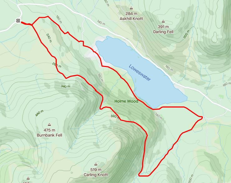
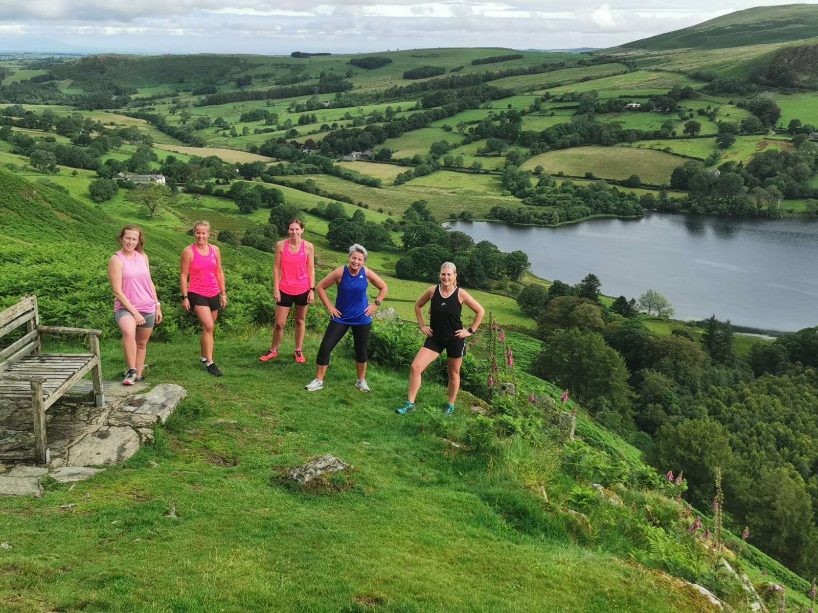
Loweswater coffin trail is a picturesque, undulating loop located near Cockermouth. The 5.4 mile loop takes you over a mixture of stone tracks, field paths and woodland paths which are all runnable but can be muddy in some stretches.
There's limited roadside parking on Fangs Brow with the route beginning at the gate. The run starts with a bit of a climb, but it's worth it for the spectacular views from the bench at the top.
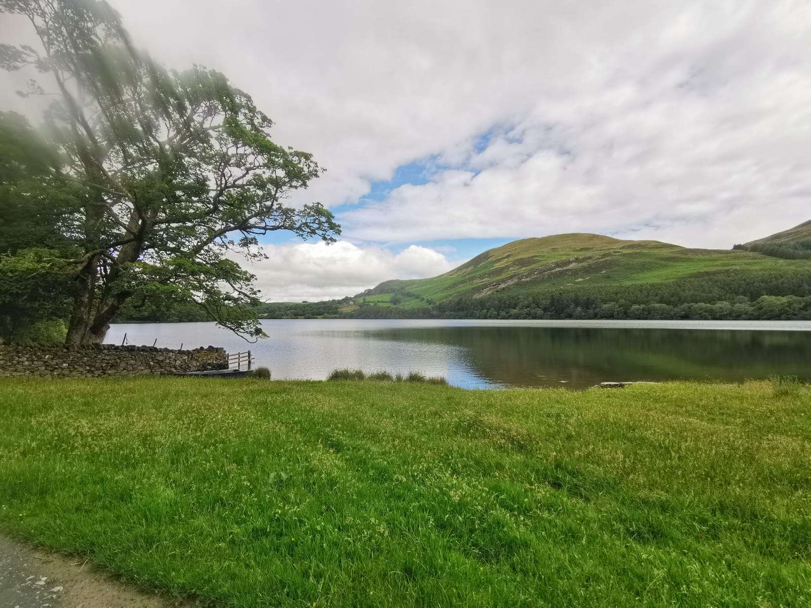
In the warmer months there're plenty of opportunities for a cool off in the lake. Watch out for the cows in the field though that are occasionally out.
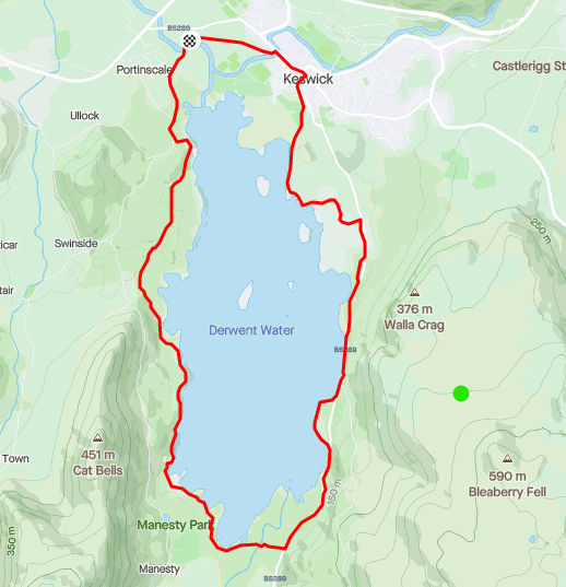
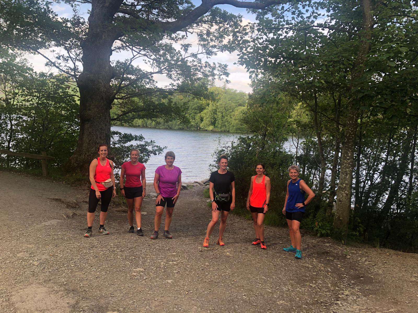
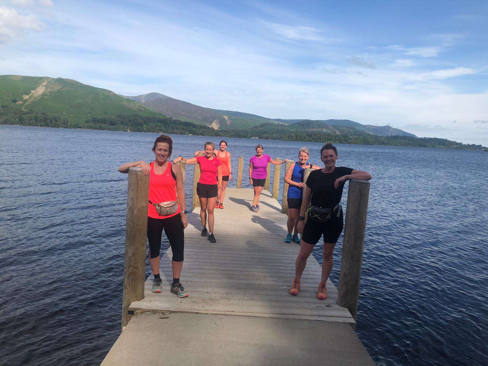
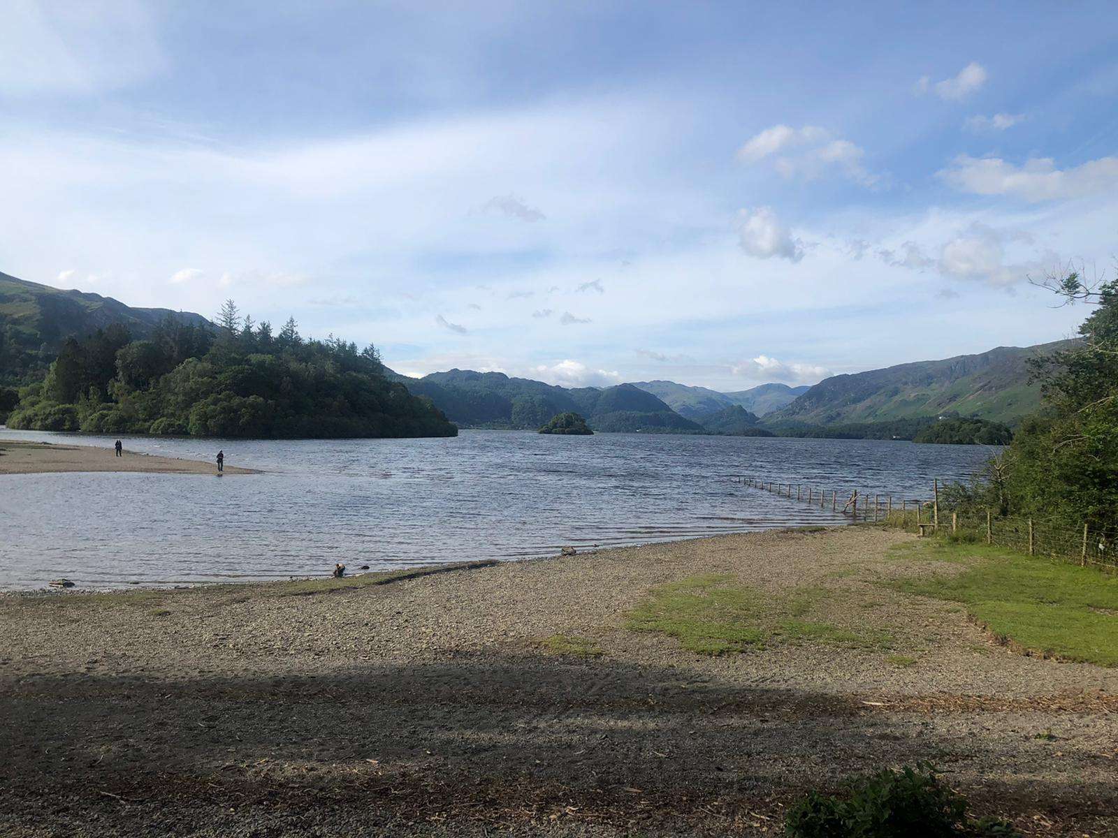
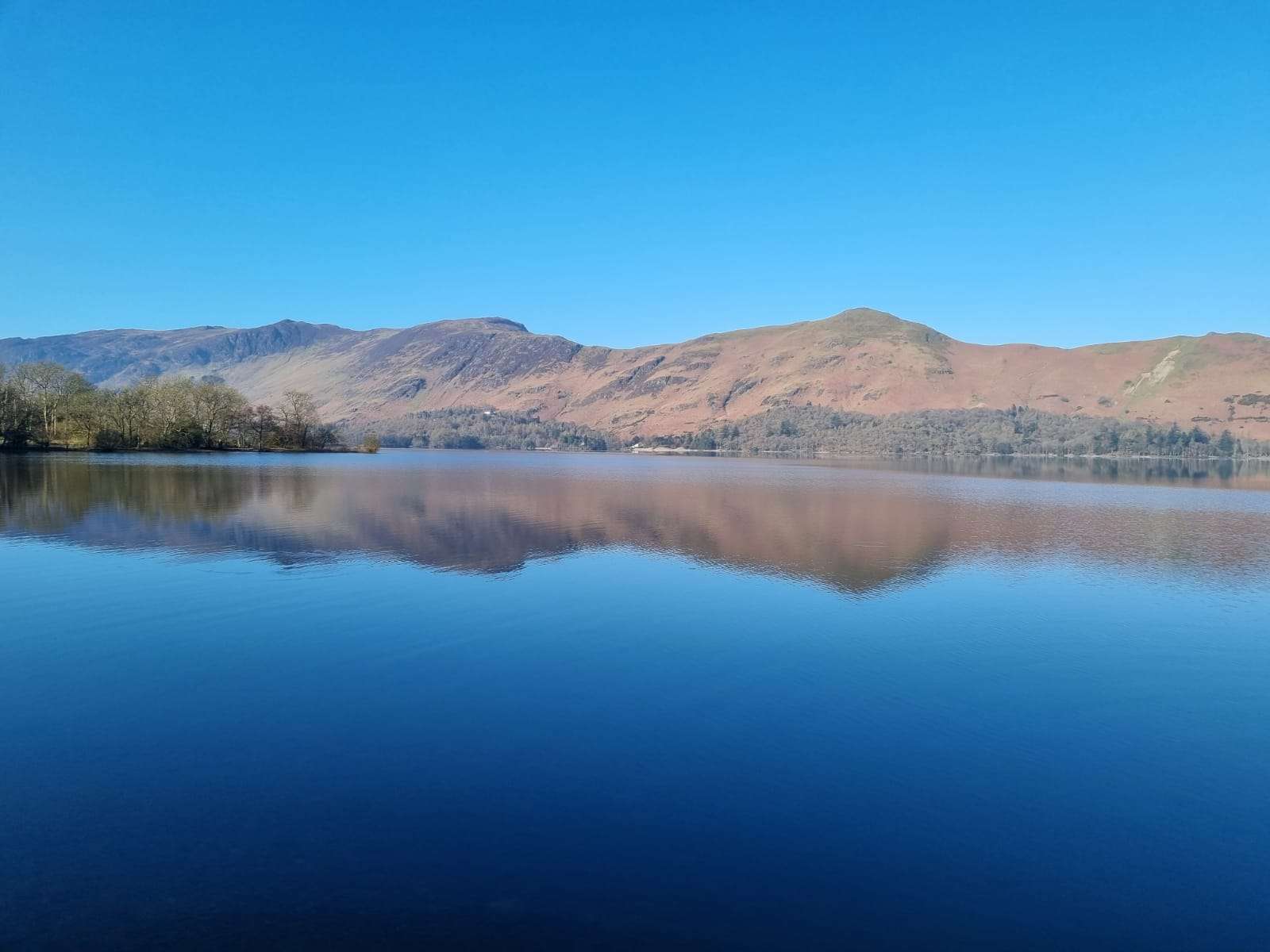
Start just before Keswick at Portinscale bridge, run into town, passed the theatrr and boats towards Borrowdale Road and through the wood. Run along the road a bit until Ashness jetty. Run along lake till you reach a car park, where you cross the road and run through the woods till Lordore falls. Cross the road and run up the hill, until you see a gate where you pick the lake back up. Good trail paths. Pass Hawse End YC, Lingholm Hall back into Portinscale past The Derwentwater Hotel over the bridge back to start. Mainly a flat, approximately 9 miles route that is not too challenging with stunning views of Skiddaw and Catbells
.
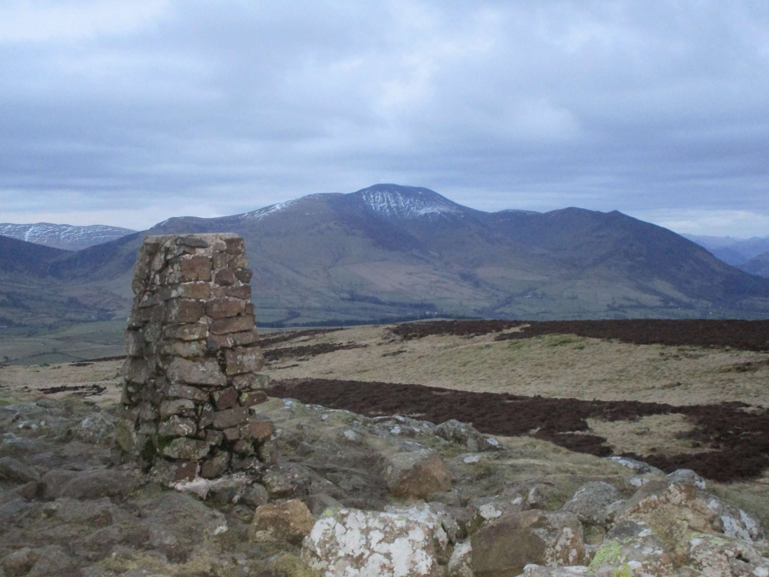
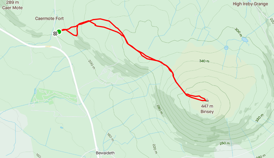
Binsey is one of the lowest Wainwrights, positioned to the West of Skiddaw. From the summit you get a wonderful 3600 view encompassing Skiddaw, Bassenthwaite, the Back o 'Skiddaw fells, Criffel and the Isle of Man. This route gives you a 3.3 mile run, with mostly gentle inclines although it gets steeper for the last climb to the top.
